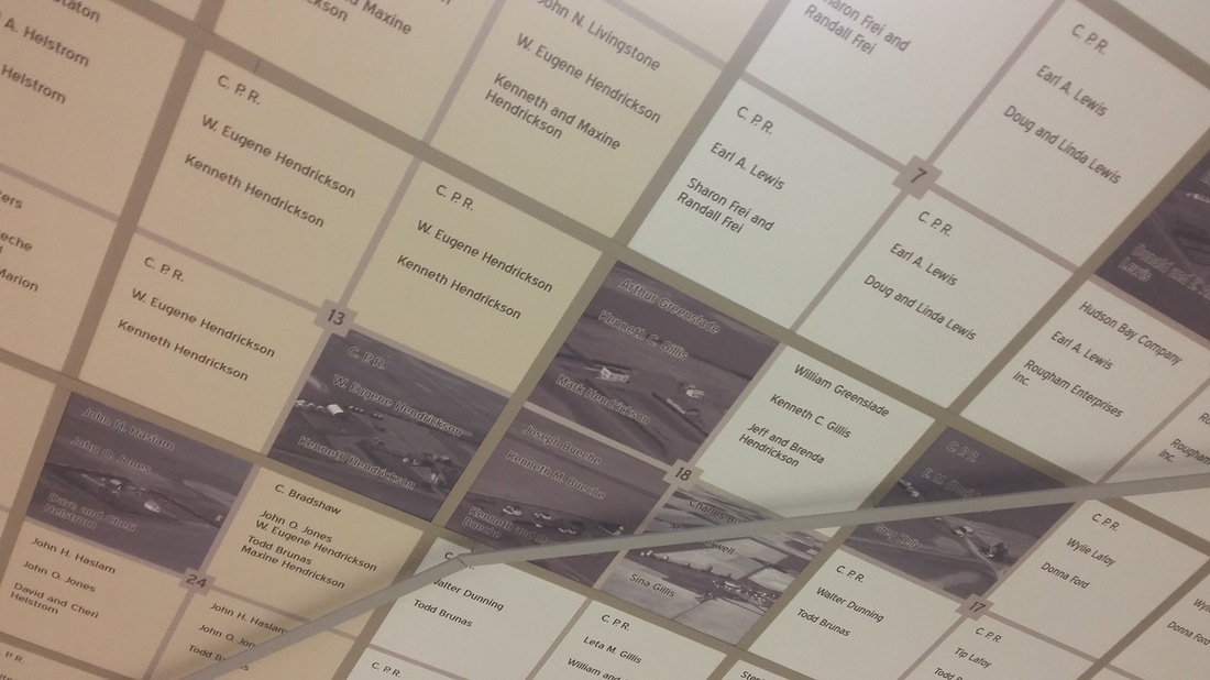
RM grid map is reproduced on the ceiling tiles. The images include the area on either side of Highway #306 as a cross-section of the land that makes up the communities of Estlin, Gray and Riceton. Most land locations are from the Rural Municipalities of Bratt’s Lake (#129) and Lajord (#128). Over 175 tiles were printed with historical landowner names and farm photographs. Each tile represents one section (the section number is indicated) and is divided to represent the four quarters. Each quarter lists three land-owners – the homesteader, 1961 (50-year anniversary) and 2011 (our Centennial year). If there was a farm in the mid-sixties that photo is included as well. Highway #306 and road signs help to define the locations of Estlin, Gray and Riceton. Photos were sourced from Aerial Farm Photos.
The color blocking was just done to help define Townships (6-mile square areas).
The color blocking was just done to help define Townships (6-mile square areas).
|
|
| ||||||